The Use of Satellites in Earth Monitoring A Scientific Article for M.s.c Hamza Abbas
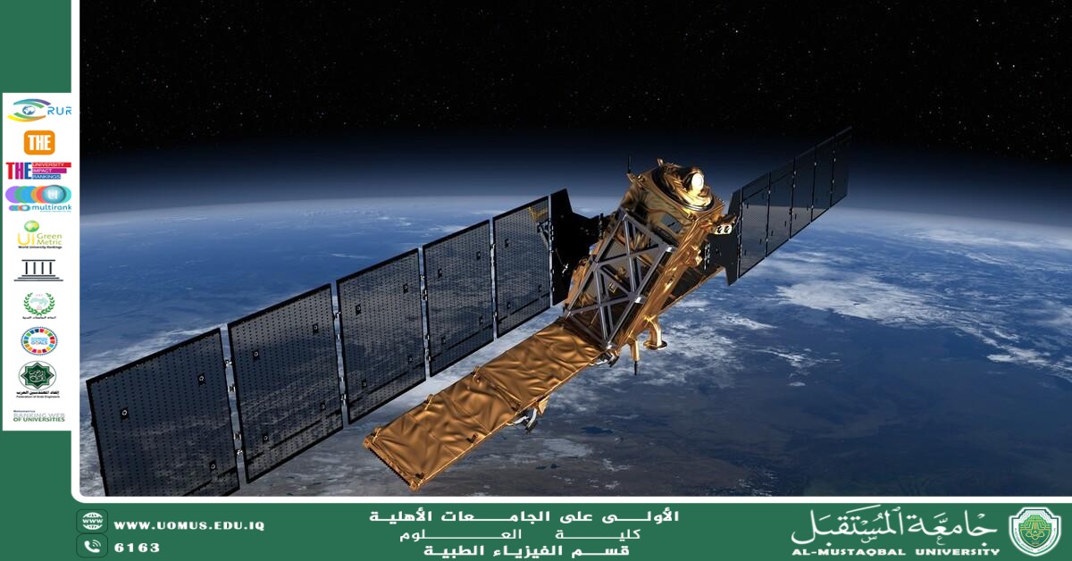
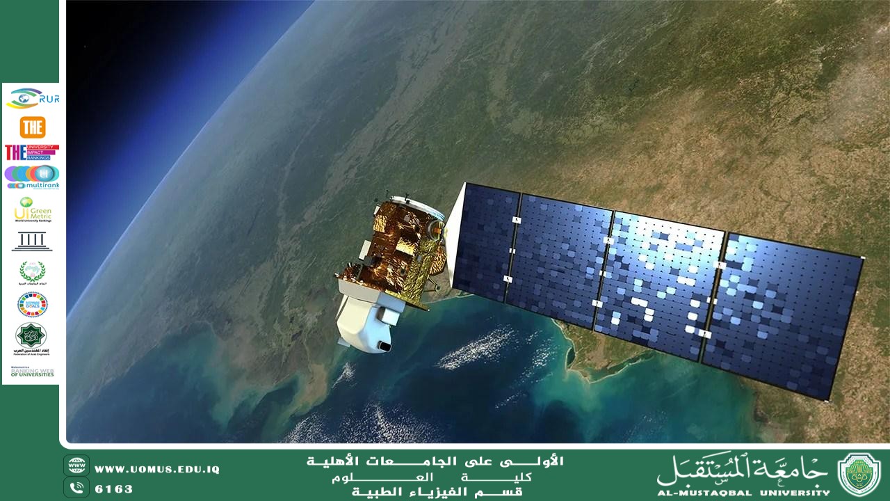
Satellites are considered among the most important tools of modern science in understanding planet Earth and tracking its continuous changes. The concept of Earth monitoring relies on remote sensing, which means collecting information from a distance through sensors that capture the
energy reflected or emitted from the Earth’s surface, atmosphere, and oceans. This technology provides scientists and governments with a broad and repeated view of vast areas that are difficult to monitor using ground-based methods alone. Therefore, it has become a fundamental tool in managing natural resources, monitoring disasters, studying climate, and supporting decision-making.
The importance of satellites stems from their ability to provide regular data that crosses geographical boundaries. Programs such as Landsat, operated by NASA and the United States Geological Survey, have provided a continuous record of the Earth’s land surface since 1972, making it one of the longest uninterrupted space-based records for Earth observation. This long time span makes it possible to compare images of the same regions across decades, thereby revealing changes in vegetation cover, urban expansion, desertification, shifts in waterways, and the degradation of certain ecosystems.
Satellites use multiple types of sensors, each with a specific scientific function. Optical and multispectral sensors capture reflected light from land, water, and vegetation, helping distinguish between soil, crops, and water bodies. Radar satellites such as Sentinel-1, on the other hand, operate day and night and under all weather conditions because they do not rely on sunlight, but rather on radar waves capable of penetrating clouds. For this reason, they are especially important in monitoring floods, landslides, glacier movement, and subtle surface changes. Thermal sensors are also used to measure land surface temperature, which is useful in tracking drought, wildfires, and agricultural water management.
One of the most prominent applications of satellites in Earth monitoring is the observation of agriculture and water resources. Satellite images help estimate crop conditions, identify agricultural patterns, measure changes in soil moisture, and monitor water consumption indirectly through measurements of surface temperature and vegetation cover. The United States Geological Survey has indicated that Landsat data are actively used in complex issues related to crops and water, showing that Earth monitoring is no longer merely an academic activity, but a practical tool that supports food security and the sound management of resources.
Satellites also play a highly important role in responding to natural disasters. In the case of wildfires, for example, NASA systems such as FIRMS provide near-real-time data on the locations and intensity of active fires, and some global data become available within about three hours of satellite observation. This gives emergency teams a rapid picture of the spread and direction of the fire, helping with early warning, identifying the most dangerous areas, and reducing human and environmental losses. Satellite data are also used to monitor hurricanes, dust storms, floods, earthquakes, and their subsequent impacts.
In the environmental and climate fields, satellites contribute to measuring indicators that cannot be collected accurately from the ground alone. European programs such as Copernicus were designed to provide accurate, timely, and easily accessible information in order to improve environmental management, understand the effects of climate change, and support civil security. Altimetry satellites are also used to measure sea surface topography and sea level rise. NASA has explained that scientists have relied for more than four decades on spaceborne radar altimeters to monitor ocean surfaces and changes in sea level. For this reason, satellites have become a key tool in studying global warming, ice melt, and rising sea levels.
From a scientific perspective, the value of satellites is not limited to capturing images only, but also includes building vast and open databases that can be analyzed across time and space. Agencies such as NASA and NOAA provide archives, interfaces, and tools that enable researchers to explore daily global imagery, compare changes over time, and connect them with other climate and environmental data. This integration of satellite imagery, digital analysis, and artificial intelligence opens broader horizons for predicting environmental risks and improving urban and agricultural planning.
Despite these major benefits, Earth monitoring by satellites faces some challenges, such as the need to process enormous amounts of data, the variation in spatial and temporal resolution between satellites, and the difficulty of interpreting some images without specialized expertise, in addition to the impact of clouds and weather conditions on optical sensors. Nevertheless, the diversity of technologies among optical, radar, thermal, and altimetry systems makes the space-based monitoring system more integrated and more capable of overcoming many of these limitations.
In conclusion, satellites have become humanity’s scientific eye on the planet. They do not merely photograph the Earth, but also help in understanding its dynamics, monitoring its resources, tracking its hazards, and guiding environmental and developmental policies on more accurate foundations. With the growing need for sustainability and for confronting climate change and natural disasters, satellite-based Earth monitoring will remain one of the most important pillars of science and planning in the twenty-first century.
AL_mustaqbal University is the first university in Iraq.