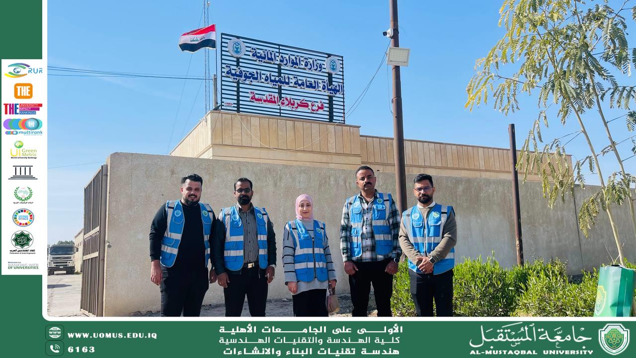

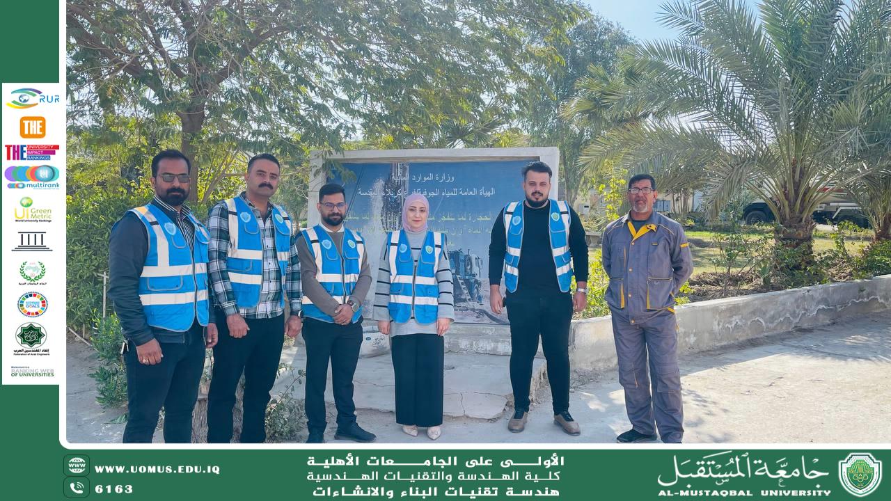
A visit by the Sustainability Team in the Department of Building and Construction Technology Engineering to the General Authority for Groundwater in Karbala
In the context of enhancing environmental sustainability efforts, improving water resource management, and achieving the sixth Sustainable Development Goal (SDG 6), the Sustainability Team at Al-Mustaqbal University, under the patronage of the Head of the Department of Building and Construction Technologies Engineering, represented by Assistant Lecturers Ala’a Hussein Abdul-Amir and Tamar Maytham, along with a specialized team of students, conducted a field visit to the General Authority for Groundwater.<br /><br />The visit aimed to:<br />- Collect data and information about the wells in the region.<br />- Assess the efficiency of the wells and identify the challenges they face.<br />-Discuss sustainability improvement strategies with the management.<br /><br />📅 Date of the visit: February 3, 2025<br /><br />The team was warmly received by the Director of the General Authority and its technical staff. The field tour included an overview of the different stages of well drilling, methods of measuring water levels, and an interview with the Director of the General Authority. He emphasized the importance of water level monitoring systems, water quality testing (including salinity and conductivity), and their role in minimizing environmental impact and ensuring sustainability.<br /><br />Key challenges discussed during the visit:<br />1- High levels of pollutants in water sources.<br />2- The need for more efficient purification technologies.<br />3- Regular maintenance and monitoring requirements for the wells.<br /><br />Proposed solutions by the team:<br />- Enhancing continuous monitoring of water quality.<br />- Developing training programs for employees on environmental sustainability.<br /><br />This visit was part of the Sustainability Ambassadors' activities and included a meeting with the authority’s officials, reviewing regional maps, visiting existing wells, determining their coordinates, and measuring water levels using specialized equipment.